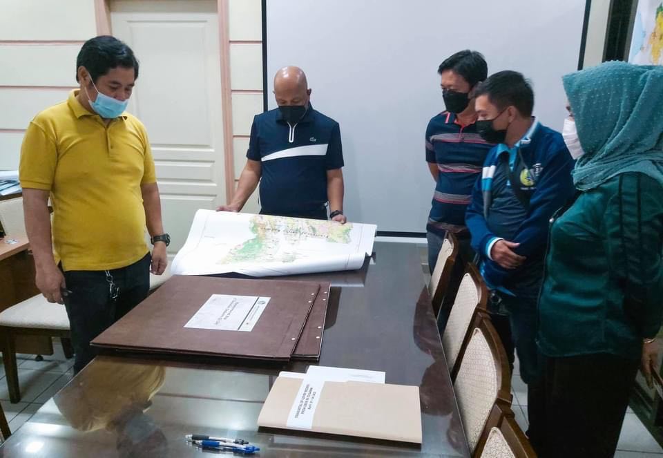
COTABATO CITY – The Department of Environment and Natural Resources-Region 12 (DENR-XII) on April 30 turned over the initial batch of Cotabato City’s land-related documents to the management of the Bangsamoro region’s Ministry of Environment, Natural Resources and Energy (MENRE).
DENR-XII Assistant Regional Director for Technical Services Engr. Mama G. Samaon and MENRE Land Management Services (LMS) Director Eshan Karl O. Mabang led the turnover ceremony held in Koronadal City.
Transmitted records included the Cotabato Cadastre (CAD–52) or the city’s approved survey plans and survey records.
DENR-XII also transferred projection maps of Marawi City and list of Land Registration Authority titles they gathered during their operations with the Task Force Bangon Marawi.
“The DENR-XII is doing its best to hand over all land documents in a systematic manner for easy referral of MENRE-BARMM in the future,” said Samaon.
Mabang, on the other hand, said “there will be a series of turnover from DENR-12 to MENRE for the land records of Cotabato City including the electronic copies of these documents.”
MENRE’s LMS Records Section is currently being upgraded in preparation for the comprehensive turnover of land records from Cotabato City and the 63 Barangays of North Cotabato. This effort seeks to provide an efficient and effective records keeping and management system that will cater region-wide land documents, especially with the added planned digitalized data.
In December last year, the DENR National transferred to MENRE documents, maps, protected areas,and other resources covering Cotabato City and the 63 Barangays of North Cotabato, as well as the Turtle Islands Wildlife Sanctuary in Region 9, the Lake Lanao Watershed in Region 10, and the Liguasan Marsh in Region 12. (Bangsamoro Information Office/Photo from MENRE)
![]()


